La Palma


Geographically speaking La Palma belongs to Spain, but is located just West of the Sahara, off the coast of Northern Africa/Morocco, in the dark blue Atlantic Ocean.
This Spanish island belongs to an island group of 7 islands, called the Canaries. La Palma is the most western island of the chain and its third smallest: surface of 706 km2 and a population of about 85 000.
The Canary Islands are famous for their warm weather year round and are referred to as the ‘Hawaii of Europe’ or the ‘Islands of Eternal Spring’, as even winter vacations allow for sunbathing and swimming in the coastal areas. La Palma enjoys subtropical island temperatures throughout the year with only small temperature variation between seasons. The average temperature ranges between 65-81 Fahrenheit or 18 to 27 Celsius. Summers are pleasantly hot, compared to the extreme and dry summer heat that other Mediterranean vacation destinations endure.
When the rest of Europe shows inhospitable weather during spring, fall and winter, the Canary Islands enjoy their peak-travel season: October thru May are a must for any traveler that seeks to escape the Cold and Grey!
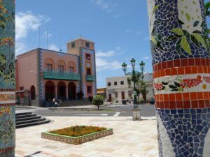
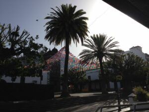
Isla Bonita, the Beautiful Island
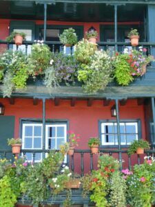
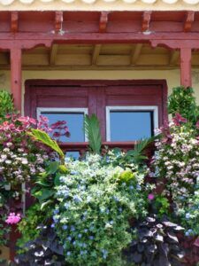
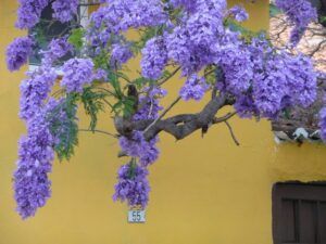
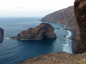
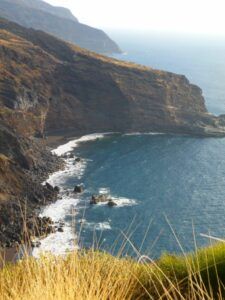
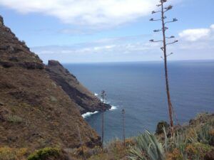
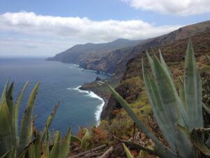
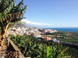
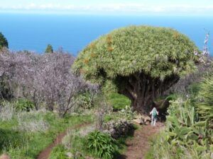
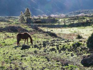
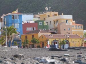
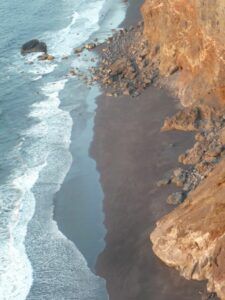
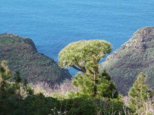
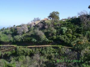
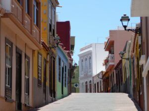
La Palma is also referred to as Isla Bonita, the Beautiful Island since it has preserved its stunning natural beauty and encourages eco-tourism over mass tourism: large hotel chains, overbuilt coastlines with crowded beaches or highways are non-existent. Instead one finds picturesque and colourful historical towns and villages with 16 and 17 hundred-style architecture and an lively, friendly island culture, beautiful homes and boutique hotels for visitors, scenic green cliff coastlines interrupted by remote almost empty beaches and small windy roads with spectacular views. Unlike the other Canary Islands La Palma is green, lush and self- sustaining as it produces an abundance of water as part of an amazing drip-irrigation-eco-system, naturally occurring in the mountainous central areas of the island, thus also the nickname Isla Verde, the Green Island.
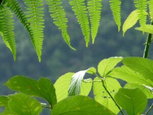
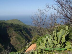
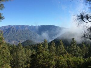
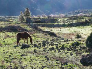
Isla Verde, the Green Island
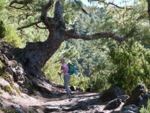
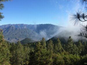
The trick to this eco system of abundant water is: moisture rich trade winds move clouds from the East towards the highest centrally located mountain ridge, that traverses the island down a line from North to South, diving it in two halves: East and West. Because of the high mountain ridge most clouds get stuck on the top and hover there while the pine and laurel forests of the higher elevation receive the moisture either in form of rain or mist. What the trees do not need for themselves trickles downwards into huge underground lava caverns and water reservoirs. Elaborate water canals bring this high quality drinking water to the lower parts of the island for consumption and irrigation.
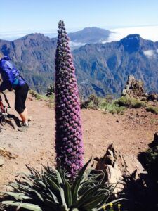
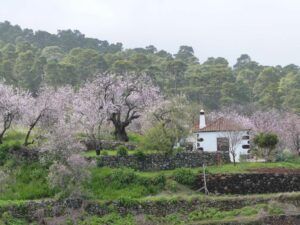
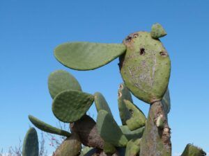
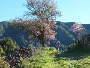
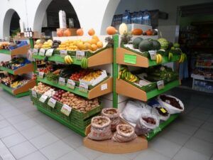
In the coastal regions the Green is made up of banana, avocado, mango, papaya plantations, some wine growing and succulent plants whereas in the higher regions of a mix of almond orchards and wine vineyards along with forests of pine, loral and chestnut.
Climate zones
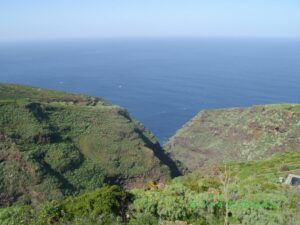
There are different climate zones looking at the island either horizontally (East-West-North-South) or vertically (with changing elevation). The main cause of these climate variations is the centrally located mountain ridge, with its highest peak at 2426 m (almost 7960 feet above sea level) that runs from the North to the South, separating the island in East and West:
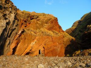
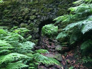
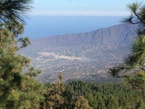
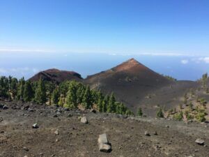
The West Coast is known for being the driest and sunniest side of the island. The East brings in the moisture, clouds and possible rain with the trade winds. In the North-East we find the wettest place of the island in the world famous Los Tilos rainforest, with waterfalls and Jurassic park like ambience. The North-West is windblown, rugged, remote but has a wild-romantic feel to it, along with the South, where the island shows off its younger side with dormant volcanic craters and less fauna.
Looking at the climate vertically we are talking of a change in temperatures of at least 1 degree Celsius per gain of 100 meters: this means when we are at elevation 0 in the coastal regions we enjoy the warmest and sunniest climate, more so on the West Coast than the East. If the temperature is 24 degrees at the beach in Tazacorte or Puerto Naos for example, it will be at 900 Meters in El Paso, only 15 degrees. The cooler temperatures in the mountainous areas are perfect for walking, hiking, mountain biking, and more.
These horizontal and vertical divides create a multitude of micro climates and allow the visitor to experience contrasting regions that are located extremely close to each other. In Unesco declared La Palma a World Biosphere Reserve:
Where can you hike on snowy paths on top of the ridge of the highest peaks in winter while swimming in the ocean or a private pool a few hours later after you have come back down to sea level? Or how the locals say, if it is misty or raining where you are, just drive a few kilometres either horizontally or vertically towards the sea and surely the weather will have changed for the better. If not, visit one of the many interesting museums or treat yourself to a tasty meal of local specialties along with a glass of outstanding island wine in one of the many excellent restaurants of the island. By tomorrow the sun will be back.
Starlight Reserve Destination
Because of La Palma’s remote location as the most Western island in the Canaries and its high elevation it has almost no light pollution and boasts with an incredible night sky opening up yet another facet of its versatile beauty, it’s stars, milky ways and far away galaxies.
This is why the world’s biggest telescope and observatories have been installed on the Roque de los Muchachos and researchers from all over the world gather important information into galaxies not previously viewed, thus the name La Palma, Starlight Reserve Destination. Visitors can book a tour of the observatories and get to part-take the most amazing stargazing excursion in the world and gain insight into newest astronomic research.
Activities
The island offers an abundance of outdoor, underwater, ocean and sky activities.
To name just the most important:
- Swimming, Beach relaxing on almost empty fine sand beaches (Charco Verde, Tazacorte, Los Guirres, Puerto Naos, la Zamora, Nogales, Santa Cruz, Bajamar, los Concajos, Salemera, la Veta and more or in naturally occurring ocean pools (Charco Azul, la Fajana
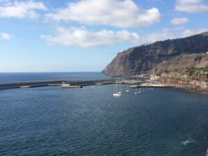
- Kayaking along the Coast into rare sea water caves like the Cueva Bonita (the Beautiful Ocean Cave) off the coast of Tazacorte harbour
- Stand-up Paddel Boarding in the calm waters of Tazacorte beach
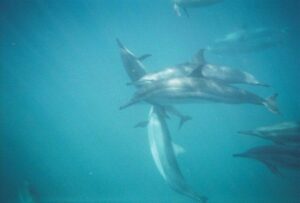
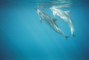
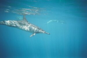
- Dolphin and Whale Watching on a Boat
- Sail Charters
- Sport-fishing
- Scuba Diving in La Palma’s underwater sanctuaries
- Kite-surfing on Santa Cruz beach
- Boogy Boarding and surfing on Playa los Guirres or off of Playa Nueva in Tazacorte
- Walking and Hiking on a perfect, interconnected and well marked trail system that spreads over the entire island with over 1000 km of hiking paths for all skill levels (one of the most spectacular hikes is probably the Ruta de los Volcanos-the Volcanic Crater Ridge Hike, traversing alongside six volcanoes or the Caldera Hike with the Coloured Waterfall
- Mountain, trail and road biking with or without e-bikes
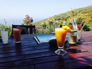
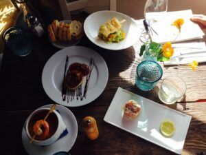
- Culinary Slow Food and Wine Excursions to the various vineyards of the island and to local restaurants in the mountains or by the ocean that offer regional specialties and invite you to adapt to the local culture of slowing down and enjoying the moment
- Sightseeing the picturesque old town centres and or visiting the many interesting museums and places: such as Art Galleries, Natural History, Silk, Cigar, Pottery, Marine, Sea Salt Mine, Art in the Street Exhibitions and many more
- Speleological- Cave-Explorations in volcanic underground lava tubes
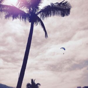
- Para gliding off the many Cliffs getting a birds eye view of the island
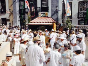
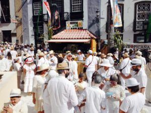
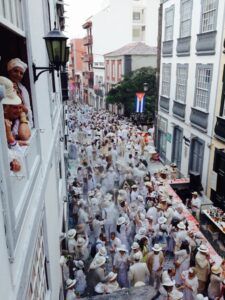
- Family Fun at a ropes course adventure park or during a tour of an actual ecological banana plantation with a petting zoo or by witnessing one of the many cultural fiestas the island celebrates, like the White Carneval (Shrove Monday before Ash Wednesday in Santa Cruz-Los Indianos), the Fiesta de San Miguel (Tazacorte, the whole month of September), the various Romerias: 4-H and Harvest festivals which include the blessing of a Saint or the Virgin Mary (in all regions of the island at various times of the year), Corpus Christi (most famous in Mazo), Easter processions, the El Diabolo (September in Tijarafe), the Bajada de la Virgin with the Dance of the Enanos, Dwarfs with Napoleon hats (every 5th year in Santa Cruz de La Palma).
Because of the warm and sunny climate on the West Side close to sea level none of the houses, hotels or apartments have nor require heating.
Our vacation home
Our vacation home is located at 230 meters above the ocean in the warmest and sunniest area of the island’s Central West Coast: in Tazacorte. This particular region is not only the sunniest area of the island but of entire Europe. Our house is located on the outskirts of Tazacorte. This allows for sunbathing and swimming in the private pool or the ocean year-round and enjoying most activities outdoors even in the middle of winter.
Do not hesitate to book this first-class ocean view accommodations with private pool and gardens: Casa Alba Marina.